South Dakota · Badlands National Park
The South Dakota Badlands: Where the Prairie Falls Away
Beyond the grasslands of western South Dakota, the earth suddenly falls away into a maze of striped buttes, jagged spires, fossil beds, and deep canyons. Explore the geology, Lakota history, wildlife, scenic drives, trails, and unforgettable light of Badlands National Park.
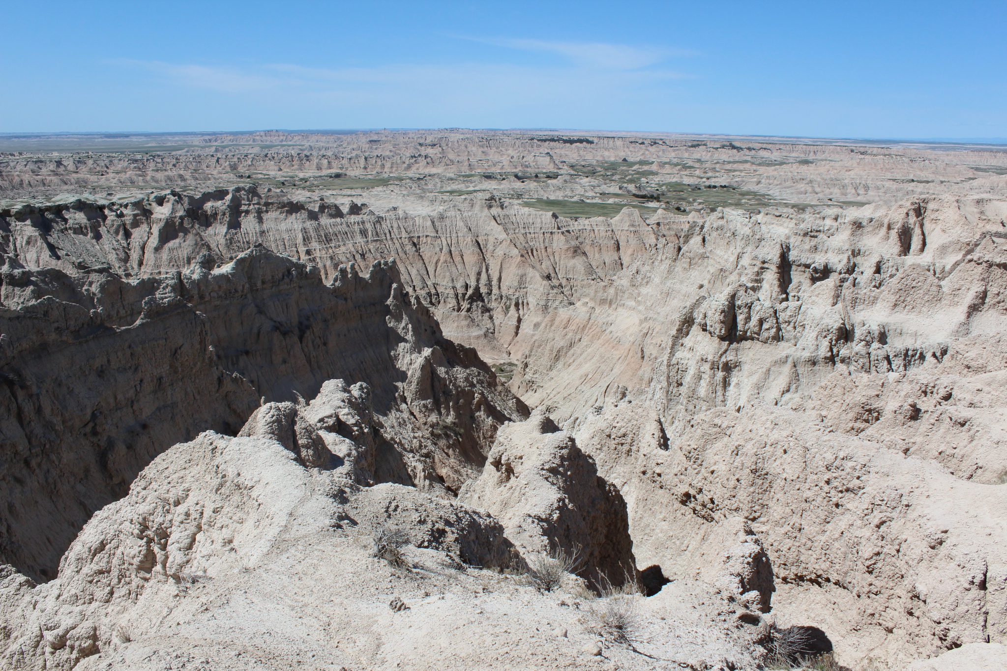
There are landscapes that are beautiful because they are inviting, and then there are landscapes that make you stop because they seem almost impossible.
The South Dakota Badlands belong to the second kind.
Drive across the western South Dakota prairie and the country can seem almost endless—grass, sky, distant ranches, and a highway disappearing toward the horizon. Then the ground suddenly falls away.
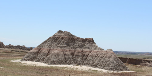
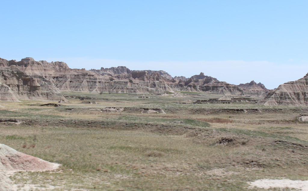
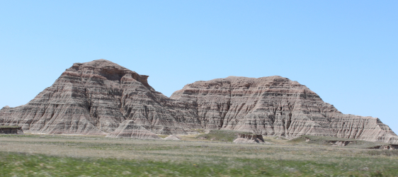
In its place are jagged ridges, deep gullies, striped hills, narrow spires, and enormous eroded walls stretching across the landscape.
This is Badlands National Park, one of the most unusual places in South Dakota and one of the great landscapes of the American West.
But the Badlands are more than scenery.
Hidden within these formations is a record of ancient seas, extinct mammals, changing climates, thousands of years of human history, Lakota culture, homesteaders, and the continuing story of a landscape that is still being carved away by wind and water.
For travelers willing to slow down, pull into the overlooks, walk a trail, and watch the light move across the formations, the Badlands reveal much more than you can see through a windshield.
A Landscape That Earned Its Name
The name Badlands sounds like something invented to attract tourists.
It wasn't.
For generations, the Lakota have referred to this country as mako sica, commonly translated as "bad lands."
Early French fur trappers used a similar description: les mauvaises terres à traverser—bad lands to travel across.
Standing at one of the overlooks, it isn't difficult to understand why.
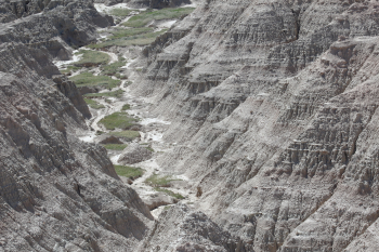
The formations are cut by steep ravines, gullies, buttes, and walls that can make cross-country travel difficult. Water can be scarce. Summer temperatures can become dangerously hot, winters can be bitterly cold, and rain can turn the clay-rich ground into slick mud.
What was once difficult country to cross has become the very thing that draws people here.
Today those "bad lands" are among the most recognizable landscapes in the Great Plains.
Millions of Years Written in Stone
The Badlands look chaotic from a distance, but the colored layers running through the formations tell an extraordinarily long story.
The oldest rocks exposed within the park began forming roughly 75 million years ago, when a shallow inland sea covered this part of North America.
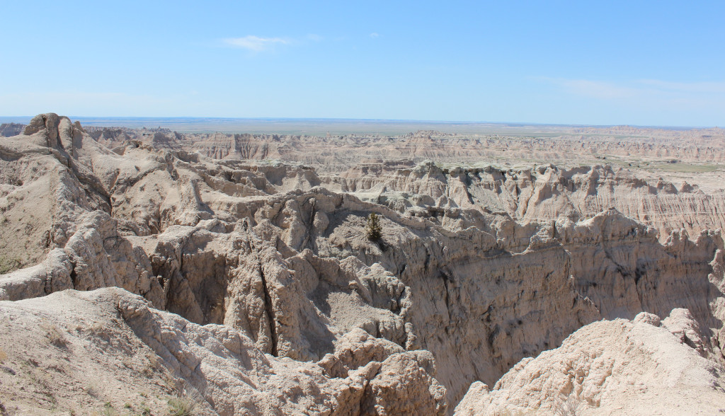
As that sea disappeared, the environment changed repeatedly. Rivers deposited sediment across floodplains. Forests and savannas developed. Volcanic ash arrived from eruptions far to the west. Climate shifted, soils formed, and layer after layer accumulated.
Then erosion took over.
Beginning roughly half a million years ago, water and wind began cutting into those accumulated sediments.
The result is the landscape we see today.
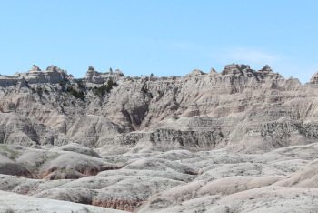
The erosion has created pinnacles, buttes, mesas, gullies, hoodoos, and knife-edged ridges—and it hasn't stopped. The Badlands continue to erode today.
That means the park is not simply preserving an ancient landscape.
It is preserving a landscape still being created.
A Window Into a Lost World
The rocks of the Badlands preserve something even more remarkable than scenery.
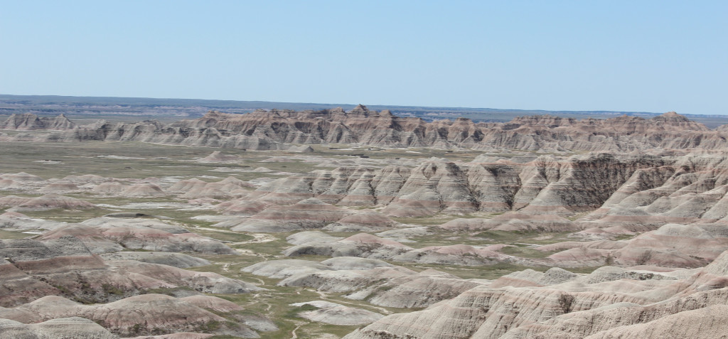
They preserve life.
Badlands National Park contains some of the world's richest fossil deposits from the Oligocene Epoch, providing scientists with an extraordinary record of animals that lived here tens of millions of years ago.
Long before bison crossed these prairies, the region was home to creatures that would seem strange beside today's wildlife.
Ancient horses lived here.
So did early camels.
Rhinoceros-like mammals roamed the plains, along with oreodonts, turtles, and powerful carnivores.
The fossil beds have helped paleontologists reconstruct ecosystems that disappeared millions of years before humans ever saw this landscape.
Visitors interested in that history should stop at the Ben Reifel Visitor Center, where exhibits introduce the geology and paleontology of the park.
The Fossil Exhibit Trail is another worthwhile stop. This short, accessible boardwalk uses fossil replicas and exhibits to explain some of the animals once found in the region.
And if you happen to notice what looks like a fossil while exploring the park, leave it exactly where it is and report the location to a ranger. Fossils within the national park are protected, and their location can provide scientists with information that is lost when they are removed.
People Have Known This Country for Thousands of Years
The human history of the Badlands reaches far beyond the creation of the national park.
Archaeological evidence indicates that people have lived in or traveled through the region for thousands of years.
Over time, different Indigenous peoples hunted and traveled across these plains. The Lakota became deeply connected with the region and the surrounding Black Hills and Great Plains.
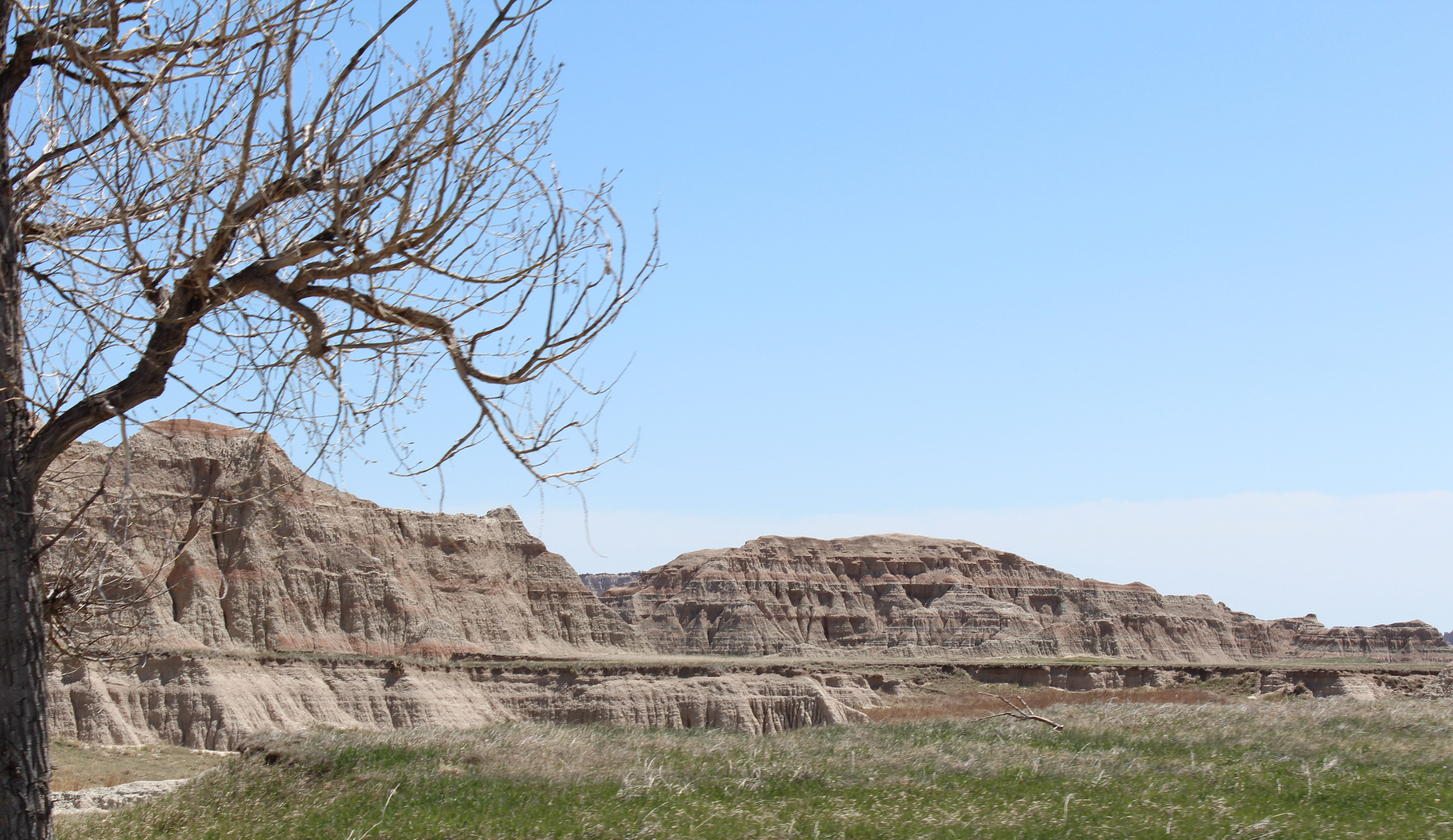
Bison were central to life on the Plains, providing food and materials for shelter, clothing, tools, and other necessities.
The landscape remains culturally and spiritually significant to Lakota people today.
That history is especially important in the park's Stronghold District, also known as the South Unit. The district lies within the Pine Ridge Indian Reservation on land owned by the Oglala Sioux Tribe and managed by the National Park Service under an agreement with the Tribe.
The South Unit is much less developed than the heavily visited North Unit and contains places connected to Lakota history as well as dramatic Badlands scenery.
Understanding this history changes the way you see the landscape.
These formations weren't empty wilderness waiting to be discovered. People knew, traveled through, hunted within, named, and understood this country long before it appeared on a National Park Service map.
The Badlands and the Changing American West
The nineteenth century brought enormous changes to the northern Great Plains.
Westward expansion, federal Indian policy, military campaigns, the destruction of the great bison herds, and increasing settlement transformed life across the region.
The Fort Laramie Treaty of 1868 established the Great Sioux Reservation and protected lands west of the Missouri River for the Lakota and other Sioux peoples. But pressure on those lands increased dramatically after gold was confirmed in the Black Hills following George Armstrong Custer's 1874 expedition.
Prospectors entered the region despite treaty protections.
Conflict followed.
The events that unfolded across the northern Plains eventually included the Great Sioux War of 1876–77 and, years later, the tragedy at Wounded Knee in December 1890, south of today's national park on the Pine Ridge Reservation.
The Badlands therefore sit within a much larger historical landscape—one connected with the Black Hills, Lakota history, westward expansion, military campaigns, reservations, and the transformation of the Great Plains.
Homesteaders on the Prairie
Another chapter arrived with homesteaders.
Federal homestead laws encouraged settlers to claim land across the Great Plains. Families attempted to build farms and ranches in a region where weather, water, and soil could make survival difficult.
The romantic image of the frontier homestead often hides how demanding that life could be.
Drought, isolation, extreme temperatures, economic hardship, and the unpredictable climate of the Plains made farming difficult.
Remnants of that era survive throughout western South Dakota.
When you're driving through the grasslands surrounding the Badlands today, it is worth remembering that these apparently empty spaces once held homesteads, ranches, schools, small communities, and families attempting to build lives on the prairie.
Driving the Badlands Loop Road
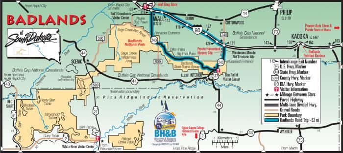
For most visitors, the best introduction to the park is Badlands Loop Road—South Dakota Highway 240.
The paved road winds through the North Unit, repeatedly climbing onto ridges and dropping between formations.
You could technically drive through without stopping.
Don't.
The Badlands reward people who pull over.
Overlooks appear throughout the route, and each presents the landscape differently depending on elevation, direction, weather, and light.
Some of the stops worth making include:
- Big Badlands Overlook
- White River Valley Overlook
- Bigfoot Pass Overlook
- Panorama Point
- Prairie Wind Overlook
- Burns Basin Overlook
- Homestead Overlook
- Conata Basin Overlook
- Yellow Mounds Overlook
- Ancient Hunters Overlook
- Pinnacles Overlook
You don't necessarily need a checklist.
Stop when the landscape tells you to stop.
One overlook may reveal miles of eroded formations. Another might place you directly above a narrow canyon. Somewhere else, the prairie may stretch behind the formations until land and sky seem to merge.
Don't Miss the Yellow Mounds
Among the many overlooks along the Loop Road, Yellow Mounds Overlook deserves special attention.
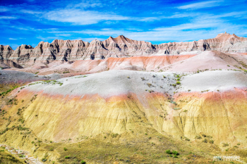
Much of the Badlands is dominated by pale gray, tan, reddish, and pink layers.
Then you reach the Yellow Mounds.
Here the hills erupt in bands of yellow, gold, purple, and reddish brown.
These colors aren't painted onto the landscape by modern mineral staining. They represent ancient geological processes and soils formed as environmental conditions changed millions of years ago.
In early morning or late-afternoon light, the colors become even stronger.
For photographers, this can be one of the most rewarding stops in the park.
Take the Dirt Road: Sage Creek Rim Road
Badlands Loop Road shows you the classic Badlands.
Sage Creek Rim Road shows you another side of the park.
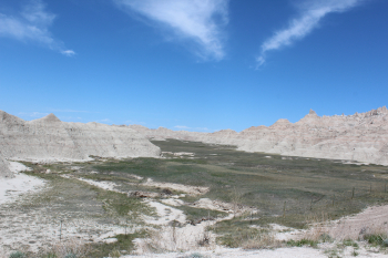
The unpaved road heads west through the Sage Creek area, where the formations gradually give way to open mixed-grass prairie.
The drive can be dusty when dry and rough or temporarily impassable after heavy rain or snow, so check current conditions before heading out.
But when conditions cooperate, it is worth the detour.
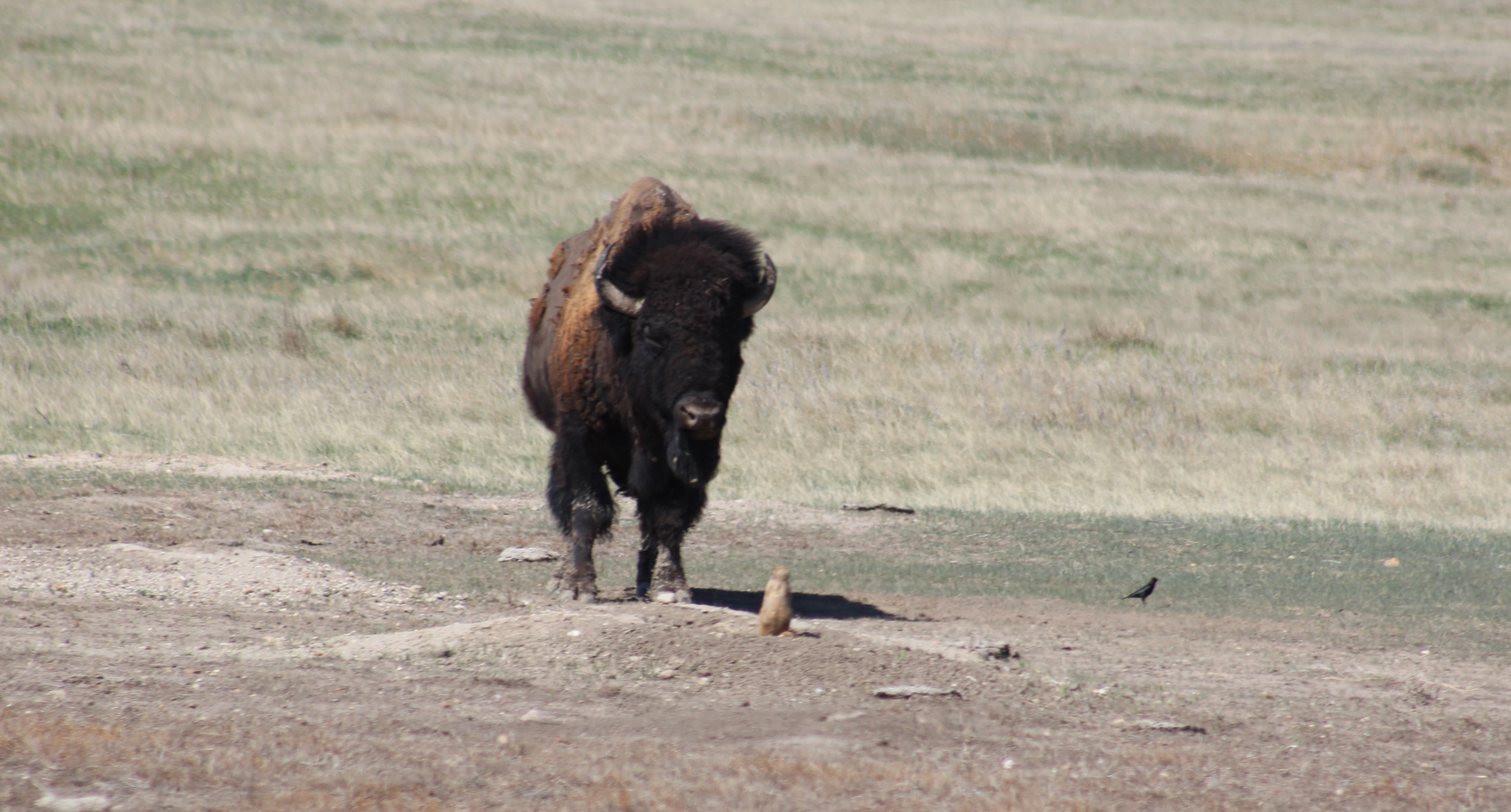
This is one of the best areas of the park for wildlife viewing.
You may encounter:
- Bison
- Bighorn sheep
- Pronghorn
- Mule deer
- Prairie dogs
- Coyotes
- A wide variety of birds
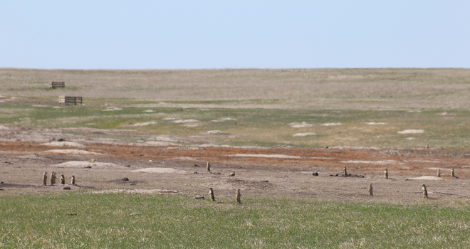
Roberts Prairie Dog Town is one of the easiest places to stop and watch prairie dogs moving between burrows.
Keep your distance from all wildlife—especially bison.
They may look calm.
They are not tame.
Wildlife in the Badlands
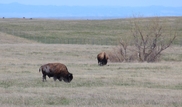
The rock formations receive most of the attention, but Badlands National Park also protects a large area of mixed-grass prairie.
That prairie is one of the reasons the park feels alive.
Bison graze across open grasslands.
Bighorn sheep navigate steep terrain that seems impossible from a distance.
Pronghorn move through open country.
Prairie dogs build enormous underground colonies.
And one of North America's rarest mammals—the black-footed ferret—has been reintroduced into the ecosystem.
The best wildlife encounters often happen when you aren't looking for them.
Drive slowly.
Scan the ridges.
Watch the prairie.
And give every animal plenty of room.
Hiking Into the Badlands
You don't have to hike to appreciate Badlands National Park.
But getting out of the vehicle changes your relationship with the landscape.
From the road, the formations look like scenery.
On foot, they become terrain.
Several established trails provide very different experiences.
Door Trail
Distance: About 0.75 mile round trip
The Door Trail begins on an accessible boardwalk before passing through an opening in the Badlands Wall.
Beyond the boardwalk, the landscape opens into a maze of formations.
This is a good introduction for visitors who want to step into the Badlands without committing to a long hike.
Window Trail
Distance: About 0.25 mile round trip
Short and easy, the Window Trail leads to a natural opening overlooking an eroded canyon.
It is a quick stop and pairs easily with the nearby Door and Notch trails.
Notch Trail
Distance: Roughly 1.5 miles round trip
The Notch Trail is one of the park's signature hikes.
The route follows a canyon before reaching a log ladder that climbs steeply toward a ledge. From there, the trail continues toward a break in the Badlands Wall overlooking the White River Valley.
It isn't a long hike, but exposure and drop-offs make it unsuitable for some visitors, particularly those uncomfortable with heights.
Rain can also make the trail dangerously slick.
Fossil Exhibit Trail
Distance: Roughly 0.25–0.35 mile loop
This accessible boardwalk is less about hiking and more about understanding what lies inside the formations.
Exhibits and fossil replicas introduce animals that once lived in the region.
It's an easy stop and particularly worthwhile if you're interested in geology or paleontology.
Castle Trail
Distance: About 10 miles round trip
The Castle Trail is the longest established trail in the park.
It travels through open prairie and alongside Badlands formations, providing a completely different experience from the short overlook trails.
You don't have to hike the entire route to enjoy it. An out-and-back section can provide plenty of solitude and scenery.
Bring water.
There is very little shade.
The Badlands Are a Photographer's Landscape
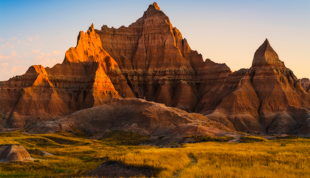
Few places change as dramatically with light as the Badlands.
At midday, the formations can appear almost washed out beneath the harsh Plains sun.
Then the sun drops.
Suddenly every ridge casts a shadow.
Colors emerge from layers that looked pale only hours earlier.
Pink becomes red.
Tan becomes gold.
Gray formations turn blue in shadow.
For photography, early morning and late afternoon are usually the most interesting times to explore.
Sunrise works especially well around east-facing viewpoints such as the eastern portions of the park.
Sunset can be spectacular from western overlooks such as Pinnacles Overlook.
Storms create another kind of opportunity.
A dark thunderstorm moving across the prairie behind sunlit formations can produce some of the most dramatic scenes in South Dakota.
But those storms deserve respect.
Weather on the Great Plains can change quickly, and exposed ridges are not places to remain when lightning approaches.
Stay After Sunset
When the last sunlight disappears from the formations, don't assume the day is finished.
The Badlands sit far from the bright lights of large cities, making the park a rewarding place to experience the night sky.
On a clear night, stars begin filling the sky while the formations disappear into silhouettes.
The same overlooks crowded during the afternoon can become remarkably quiet.
Bring a tripod if you're interested in night photography.
Or leave the camera in the vehicle for a while.
Some places are worth simply standing in.
When to Visit
Every season changes the Badlands.
Spring
Spring brings cooler temperatures and a greener prairie.
Wildflowers can appear across the grasslands, wildlife is active, and daytime temperatures are generally more comfortable for hiking.
Weather can also change quickly, and storms are common.
Summer
Summer provides long days and full visitor services, but temperatures can become extremely hot.
There is little shade on many trails.
If hiking, start early, carry more water than you think you'll need, and avoid strenuous activity during the hottest part of the day.
Fall
Fall is one of the best times to explore the park.
Temperatures are generally cooler, crowds often begin thinning, and the lower angle of the sun can produce excellent photography.
Winter
Winter transforms the Badlands completely.
Snow highlights every ridge and drainage, creating a stark landscape few summer visitors ever see.
But winter weather on the Plains can be severe. Roads may become hazardous, services are reduced, and wind chills can be dangerous.
For prepared travelers, though, winter offers a completely different Badlands experience.
How Much Time Do You Need?
You can see the major overlooks along Badlands Loop Road in a few hours.
But that isn't how I would recommend experiencing the park.
Allow at least half a day if you're simply passing through.
A full day gives you enough time to:
- Drive Badlands Loop Road.
- Stop at the major overlooks.
- Visit the Ben Reifel Visitor Center.
- Walk one or two short trails.
- Explore the Fossil Exhibit Trail.
- Drive part of Sage Creek Rim Road.
- Look for wildlife.
- Stay for sunset.
If photography or hiking is an important part of your trip, spend two days.
The Badlands look completely different at sunrise than they do at sunset.
Nearby Stops Worth Adding
The Badlands work particularly well as part of a larger western South Dakota road trip.
Wall
The town of Wall sits just north of the park and is home to the famous Wall Drug roadside attraction.
Love it or hate it, Wall Drug is part of the classic South Dakota road-trip experience.
Minuteman Missile National Historic Site
Near Interstate 90, Minuteman Missile National Historic Site tells a completely different story of the Great Plains.
For decades, nuclear missiles hidden beneath these quiet prairies formed part of America's Cold War nuclear deterrent.
Combining Minuteman Missile with the Badlands makes for an interesting contrast: millions of years of natural history alongside one of the defining technologies of the twentieth century.
Don't Rush Through
Badlands National Park is easy to underestimate.
On a map, it can look like something to fit between Interstate 90 and the Black Hills.
Drive the loop.
Take a few pictures.
Move on.
But the Badlands deserve more than that.
Walk away from the pavement and listen to the wind moving through the prairie.
Watch bison crossing a distant ridge.
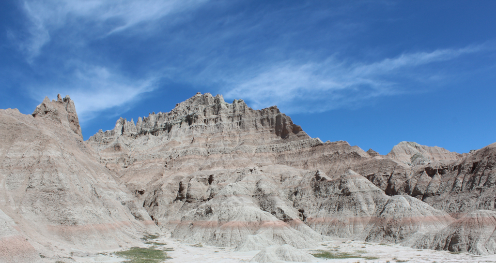
Look closely at the layers in the formations and realize that you are looking at millions of years stacked one above another.
Think about the people who crossed this country when there were no paved roads, overlooks, visitor centers, or signs pointing toward the next town.
Then wait for sunset.
As the sun drops toward the prairie, the formations begin changing by the minute. Shadows deepen inside the gullies. Ridges glow red and gold. Distant formations fade into shades of purple and blue.
Eventually the color disappears.
The prairie becomes quiet.
And a landscape once called mako sica—the bad lands—becomes one of the hardest places in South Dakota to leave.
Traveling Lens
Want the full-resolution original?
High-resolution photographs and video from our travels will be available for licensed download from Traveling Lens.
Gear Used
What we brought
 CamelBak
 M.U.L.E.
CamelBak M.U.L.E. Tactical Hydration Backpack, Modular MOLLE Design with 100oz Mil‑Spec Crux Reservoir
View on Amazon → Oakley
 HALF JACKET 2.0 XL
Oakley HALF JACKET 2.0 XL OO9154 Sunglasses With Official Eyewear Kit
View on Amazon → Merrel
l Men's Moab 3 Mid Waterproof Hiking Boots
View on Amazon →
 Garmin
 Instinct 2 Solar
Smaller-Sized Rugged Outdoor Watch with GPS, with Solar Charging Capabilities, Built for All Elements, Multi-GNSS Support, Tracback Routing and More, Graph
View on Amazon → Kuhl
Kuhl Radikl Men's Pants
View on Amazon →
 DJI
DJI Osmo Action 6 Capture More Combo, 8K Waterproof Action Camera
View on Amazon →
Keep Exploring
Related Stories
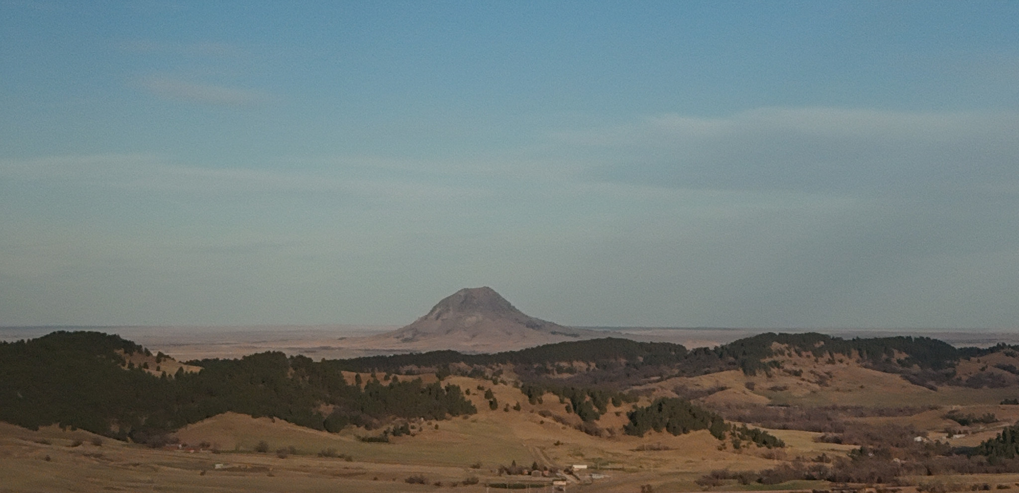
Hiking Bear Butte: A Sacred Summit on the Edge of the Black Hills
Rising above the plains northeast of Sturgis, Bear Butte offers one of western South Dakota's most distinctive hikes. The short but steep …
Saloon No. 10: Following Wild Bill's Final Hand Through Deadwood
Saloon No. 10 is inseparable from the story of Wild Bill Hickok, but Deadwood's history comes with an important twist: the modern …
Mount Moriah Cemetery: Deadwood's History on the Hillside
High above Deadwood, Mount Moriah Cemetery holds far more than the graves of Wild Bill Hickok and Calamity Jane. Its steep roads …